JourneytoValbona is very proud of collaborating with ngo TOKA on the project of mapping, marking and signposting the hiking trails in Valbona Valley National Park. These small-scale (maximum 1:30,000) maps are unique in indicating not only marked trails, but also unmarked but useable trails, as well as invisible routes only for intrepid explorers. Trails, points of interest, peaks, passes and accommodations are all indicated. Maps are waterproof, updated annually, and available for sale only locally, or through JourneytoValbona. Starting in 2018, we offer also the large format (A0), 1:25,000 map of the whole valley. Useful and Attractive!

Our products
-
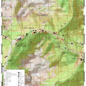
Central Valbona Valley
$5,00 Add to cart -
Çerem & Gjarper
$3,00 Add to cart -
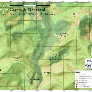
Cerem to Doberdol
$3,00 Add to cart -
 New
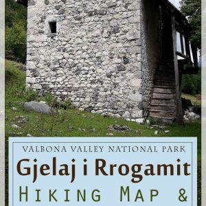
NewGjelaj Hiking and village guide
$5,00 Add to cart -


Maja e Rosit
$3,00 Add to cart -

Qafa e Valbones: Valbona to Thethi
$3,00 Add to cart -
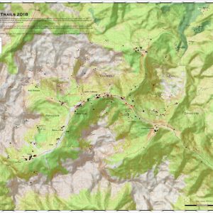
Valbona Valley Hiking Map
$15,00 Add to cart -
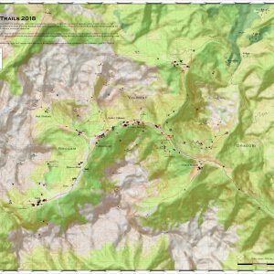
Valbona Valley Hiking Map
$15,00 Add to cart -
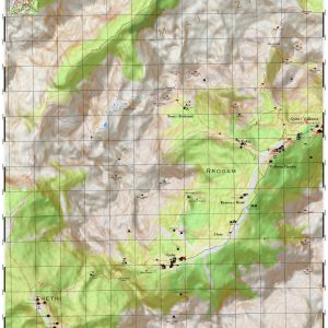
Valbona Valley West aka Rrogam
$8,00 Add to cart -
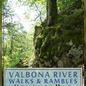
Walks & Rambles
$3,00 Add to cart

