Product Description
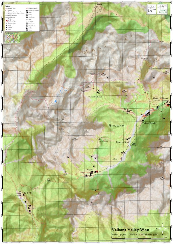
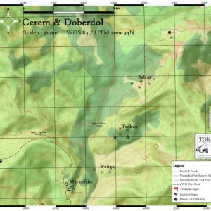
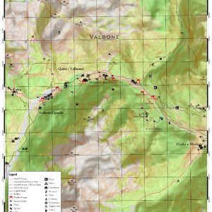
A1 print size, 1 : 30,000 scale
Printed on durable hi-cotton paper (can be soaked in a river and dried out over a campfire – I’ve tested it!)
This is the only map which currently shows you all the possible routes to Jezerca (still not recommended without a guide however – unless you are very experienced). It also shows the routes between Valbona, Theth and Montenegro as far as Vuthaj. Also all the Maja e Rosit Trails and the path to the peak of Kollata. Altogether easily a week of major hiking. No trail notes included however (coming next year).

