Tropoja Lowlands

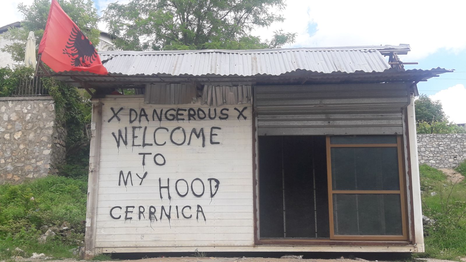
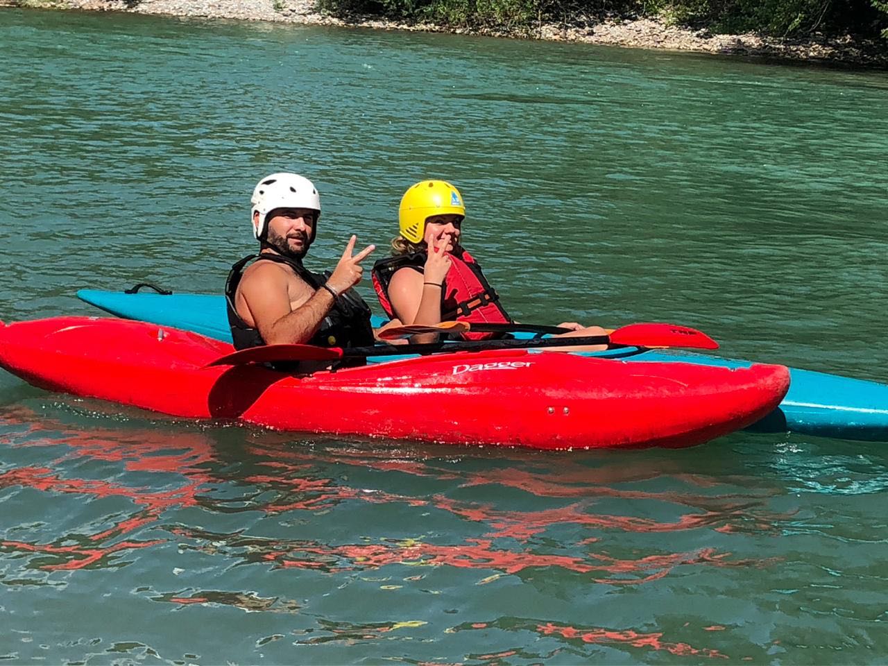
(combining Bujan, Fierza, Bajram Curri)

To be perfectly honest, this name won’t mean anything to a Tropojan – but until we find a better one, we’re grouping together all the low lying land surrounding the lower reaches of the Valbona River, from where it leaves the national park until it joins Komani Lake (aka: Drin River) at Fierza.  Why?  Because the river has a completely different character here, wider and slow moving, and because this whole region can be explored from one base.  As the lowest elevation part of the region, it’s been seen labelled on one old map as “Gropa e Tropojes” or ‘the hole of Tropoja’ – presumably meaning the valley of Tropoja – but then that would get confused with Old Tropoja . . . sigh.  There are starting to be quite a few decent hotels scattered around – focussing more on luxury (well, for here) accommodation more than traditional charm.

Even when Tropojans are trying to cash in on their Gangsta creds, they can't help but be welcoming and friendly.

Anything to do with boats, swimming, or water sports happens best here – including kayaking!  Most of the rivers and lakes in other areas are bone-crackingly freezing, and also quite possibly dangerous, so it is down here that locals ‘go to the beach.’  Lake kayaks are available for puddling around the calm waters in Fierza, or those with their own river kayaks can chose from 2 stretches centered around Bujan.  Both are 9 km long, and are challenging, but not potentially lethal.

As the most densely populated part of the region, it also has the most historical interest, with the Kulla (tower) of Mic Sokolli, the WWII Martyr’s graveyard, the creepy tunnels underneath Bajram Curri, and several nationally registered (but unmanaged) archeological sites, including the site of the 3,000 year old Ilyrian settlement of Rosuja.

I had no idea this was a ‘thing’ – but the area is scattered with weird old monuments from communism, which in former Yugoslavia get listed on this funny website that I should really go find again.

There’s lots to do agriculturally too – from June’s hay harvests to October’s chestnut gathering, if you like to experience traditional farming.

Just outside of Bajram Curri is a rock wall on which some routes have been partially bolted and which promises to offer some of the best climbing in Albania, according to climbing friends of ours.

It’s also potentially great for short cross terrain horse rides.

A new area is being opened for tourism based around Velishte, in the mountains above Markaj Village (NW of Bajram Curri).  From here you can find some lovely alpine pastures, visit the small lake of Likeni Ponarit at something around 1800 m elevation, or (I’m told) even explore a huge cave

The road from Markaj to Lekbibaj is apparently one of the nicest biking routes according to enthusiasts I’ve met.

Those interested in world religions could visit the shrine of Dervish Luzhe – a bektashi saint who was actually famous for finding water sources.   You will often hear people here swearing by him “Pasha Dervish Luzhe!”

Kayaking!

Favorite Itinerary

Runners Up: 

– History Tour

– Likeni Ponarit