The first thing to decide about “Where to Stay” (“Hotel-wise,” as one of the [horrible] Bushes might have said) is deciding where you want to stay physically (“Location-wise”).
And this of course depends on what you really, really want. Do you want to be near a specific Trailhead? Or do you want top service and luxury? Or do you want a romantic and old-world experience (AND bathrooms!).
Or do you want to mix it up? This might not be a bad idea! Base yourself on arrival at a hotel giving great service and advice, and then make side trips to more romantic and/or strategic locations? Whatever – it’s your holiday, you can do whatever you want! (And we’re all into helping you be just as self-indulgent as we can possibly encourage you to be.) (Well, without creating a monster, which wouldn’t be good for you, ‘long-term-wise.’)
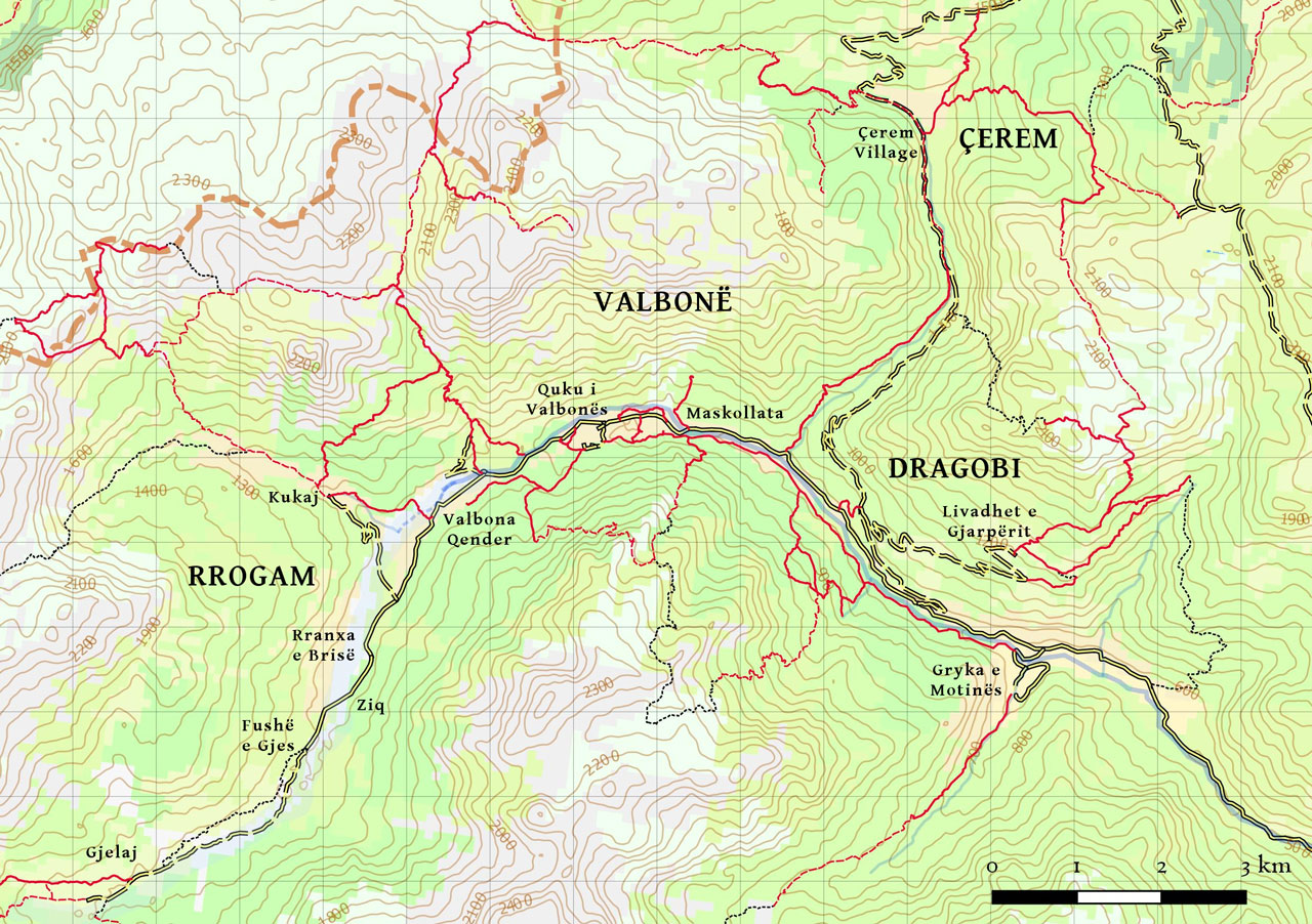
So! The first thing to understand is what your options are. Therefore, here is our handy (and very gossipy) guide to the “Neighborhoods of Valbona” [moving from East to West, roughly]. Which now that I’m thinking about it, is also moving from more pastoral to more rugged and mountainous. Not that all of it isn’t mountainous, because it is – but this may account for some of the macho-posturing between village reputations (there is DEFINITELY some PhD research waiting to be done here on inter-village rivalries!).
Valbona Valley officially encompasses 4 villages: Dragobi, Cerem, Valbona and Rrogam.
Dragobi
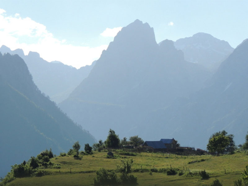
Dragobi: Is roughly speaking the Eastern-most region of Valbona, bounded to the west by the Cerem River. According to (kind of stupid) local gossip, Dragobi is a bit sneered at by the rest of Valbona “proper.” I have no idea why and think it’s totally ridiculous. The happy result of this is that Dragobi is actually the best-preserved and least-mangled part of the valley, with the least tourism development (which to my way of thinking has been happening a bit too fast elsewhere) and some of the nicest people. Here’s where you’ll find only homestays, and no fancy hotels.
- Gryka e Motinës: This is actually the most picture-postcard-perfect village in the valley. They’re only starting to develop tourism this year (with the help of JourneytoValbona!), and the whole village is kind of functioning as a collective, with one guy doing the café, one guy having a guesthouse, one guy doing camping (with some pretty nice little toilets we built for him!) and another guy catering for the campers. The valley has its own very pretty river (the Motina River) and there are at least 3 nice day hikes (which could be through-hikes if you want to traverse the valley) and it’s also the “gateway” to the pass at Qafa e Ndroqes which leads to Curraj e Eperm (the “lost village” to the south).
- Livadhet e Gjarperit: An incredibly beautiful little plateau located 500m up the side of Gjarjper Mountain, and approachable only by a 4×4 dirt track or a 2 hour hike. Until recently this was simply an outpost of shepherd’s summer farms, but one family (and another is following) have moved to construct a little stone house which is available to tourists. I started to call it “Heidi-land” because that’s what it most reminds me of. This is a great place to spend a night or more either in the stone house at Arif Kadris, or camping. The family is around, but not in the house with you, and can cook – and the food is amazing and fresh! With the telephone antennas located pretty unobtrusively (for an antenna) it also bizarrely has wifi, if you get an Albanian sim card. Makes a great gateway to the Maja e Gjarperit trails, or a much better way to approach the Peaks of the Balkans trail.
Valbona
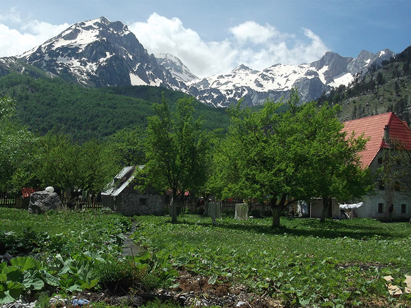
Valbona: Is officially the area between Cerem River and Kukaj River. The “dot” on official maps gets put here in what we call ‘Valbona Qender’ (or Center Valbona) – based a bit arbitrarily on the location of the now virtually collapsed old “Tourism Center” of communism time and also the Public School. A common misconception is to think that there’s an even modestly bustling village center located around here somewhere. Most of Northern Albania is organized around groups of family homes, so we don’t really have “proper villages” with shops and such. Which leads to people sometimes wondering if “there’s no ‘there’ here.” Here you start to get a mix of fancy hotels and also guesthouses.
- Maskollata:
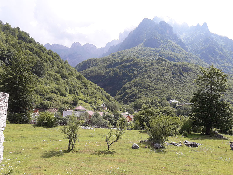
Maskollata Is a general term used by locals for the area, which actually evolved from “Mbas Kollata” or ‘behind Kollata’ – because way back when the valley wasn’t permanently settled, but only used by summer shepherds coming from what is now Montenegro, on the other side of Kollata mountain, this part of Valbona was just “y’know, over there, behind Kollata.” Now it’s actually one of the prettiest parts of the Valbona River, still pretty wild, with a really nice restaurant, cabins and rooms at “Relax Tourism Complex” (which despite its ambitious name, is still just another family-owned business). It also overlaps with Quku i Valbonës at Rilindja. More about that below. Convenient for the Maja e Gjarperit and Cerem trail systems, the Shpella e Dragobise and Bregu i Lumit trails, the Quku i Llabudave trail and the path to Curraj i Eperm.
- Quku i Valbonës: Translates as “Valbona Hollow.” This is one of the enclaves of the oldest Valbona family, the Selimaj, and also where Alfred Selimaj (my best friend and guardian angel) started his vision of an economic rebirth for the region back in 2005. Actually just nine families, it’s proliferating guesthouses and services at a rate I have a hard time keeping up with, but is most notably now the smallest village with the most sophisticated offerings. This was the initial home of JourneytoValbona and so not surprisingly has the best on-hand information about hiking, with a range of accommodation options from the fanciest rooms in the Valley to homestays and the best camping. It’s a good central location for some of the most popular hiking trailheads including: Cerem, Maja e Gjarperit, Rruga e Puntorve, Maja e Kollates and the Bregu i Lumit trails.
- Valbona Qender: Translates as “Central Valbona” although as noted earlier, its pre-eminence is more based on history than on any actual concrete additional services or characteristics. There are several very nice guesthouses here, but it’s also currently in the throes of growth pains, with a few people making some less-than-lovely new constructions. This is also the point at which the Valbona River stops being a fast-flowing blue river, to more of a meandering flood plain. Handy for the trailheads for Maja e Kollates, Rruga e Puntorve, and Maja e Rosit.
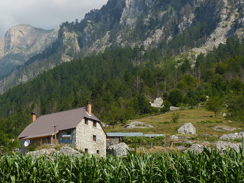
Kukaj - Kukaj: is a small hamlet (really just 2 houses) located about 200m, or a 20 minute hike, OR a tricky 4×4 drive above the valley bottom. Quiet, with one of the oldest houses in the valley, it’s a super place to stay for people wanting either a real homestay experience (and able to get around the challenge of approach) OR those planning to hike on up the valley to either Montenegro, Jezerca or some complicated Peaks of Valbona hiking/camping. Great for birding, butterflies or botanizing in May. It’s best for hiking the trails of Maja e Rosit, Maja e Kollates or Jezerca
Rrogam
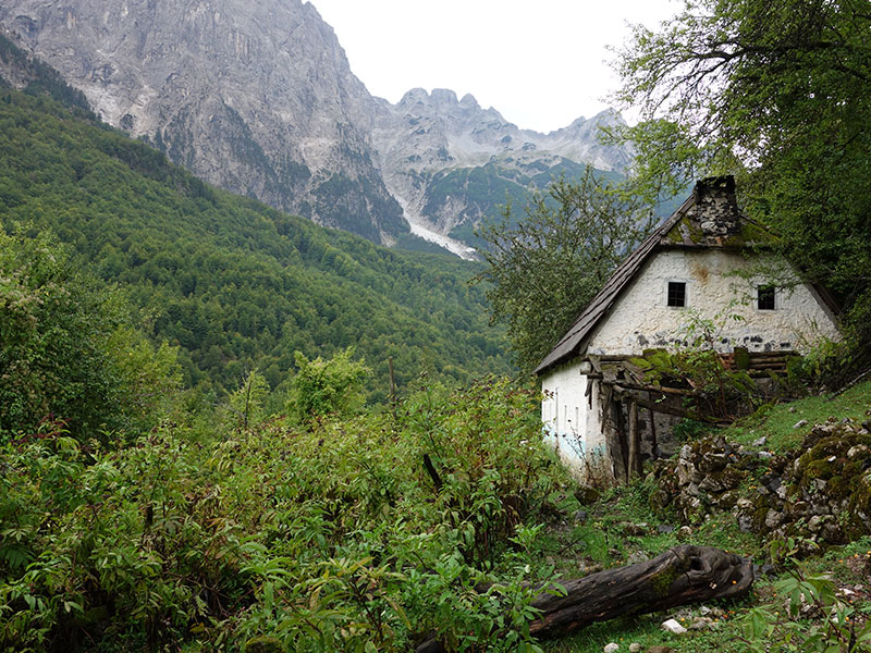
Rrogam: Is the rest of the valley, from the Kukaj River valley to the Western End at Valbona Pass (with Theth beyond). Rrogam was actually mostly settled about 60 years ago, when people from Theth who didn’t want to have their flocks collectivized fled through the pass to hide over here. NOT that it did them much good. The area has great homestays, guesthouses, a good hotel and the monstrous complex at the end of the valley which is frequented mostly by Albanians which Mercedes and really stupid shoes.
- Rranxa e Brisë: This is a lovely little enclave of traditional guesthouses which can only be approached by crossing the Valbona River floodplain. The most famous guesthouse located here is that of Kol Gjoni, which to my mind does the best job of featuring traditional culture (in the sense that they dress up in the costumes frequently, and dance around, just for fun!). There aren’t so many marked hiking tracks nearby, although we’re working on this, but it’s handy for the Maja e Rosit trails and the Theth hike.
- Ziq: This is a local name for the area where Marjgeka Hotel is located. The hotel is a very nice and quite fancy with a good restaurant. Surrounding hiking trails will be developed in the next year or two.
- Fushe e Gjes: At the end of the asphalt road you find several big hotel/restaurant complexes which to be honest are used mostly by partying Albanians and Kosovars.
- Gjelaj: A three-km hike (or 4×4 drive) past the end of the asphalt car road brings you to the summer village of Gjelaj. Due to not really having any telephone signal it’s an underdeveloped and undiscovered gem. A couple of families have started making guesthouses which we’re promoting this year. It’s obviously a great place to stay if you plan to hike to Theth, or if you want to take a guide to Jezerca (the highest mountain in the Dinaric Alps), OR for hiking south through Qafa e Zhaborre towards either Curraj i Eperm or the southern, Nderlysa approach to Theth. Due to the number of abandoned houses, it’s also currently a kind of naturally preserved museum for traditional architecture.
Çerem
Çerem: Is the village located 500m further in altitude up the top of the Çerem valley. (pronounced “Cherem”). Up until now, Cerem doesn’t have electricity or telephones (which can make reservations a challenge), but there are several guesthouses and also a house calling itself a hotel. It’s a great jumping off place for the Maja e Kollates trails, the Maja e Gjarperit trails, or moving on to the Balkan trails.

